3D Environment mapping
3D Environment mapping


3D environment maps and datasets
Creation of high spatial resolution 3D surface maps of complex as well as multi-story outdoor environments.
- Acquisition of high-resolution color 3D point clouds at selected locations that fully represent the environment.
- Registration of the point clouds into a globally consistent, georeferenced and color 3D point-based map of the environment.
- Reconstruction of the point-based map into a closed-loop and color surface model suitable for virtual reality (VR) and autonomous robotics applications.
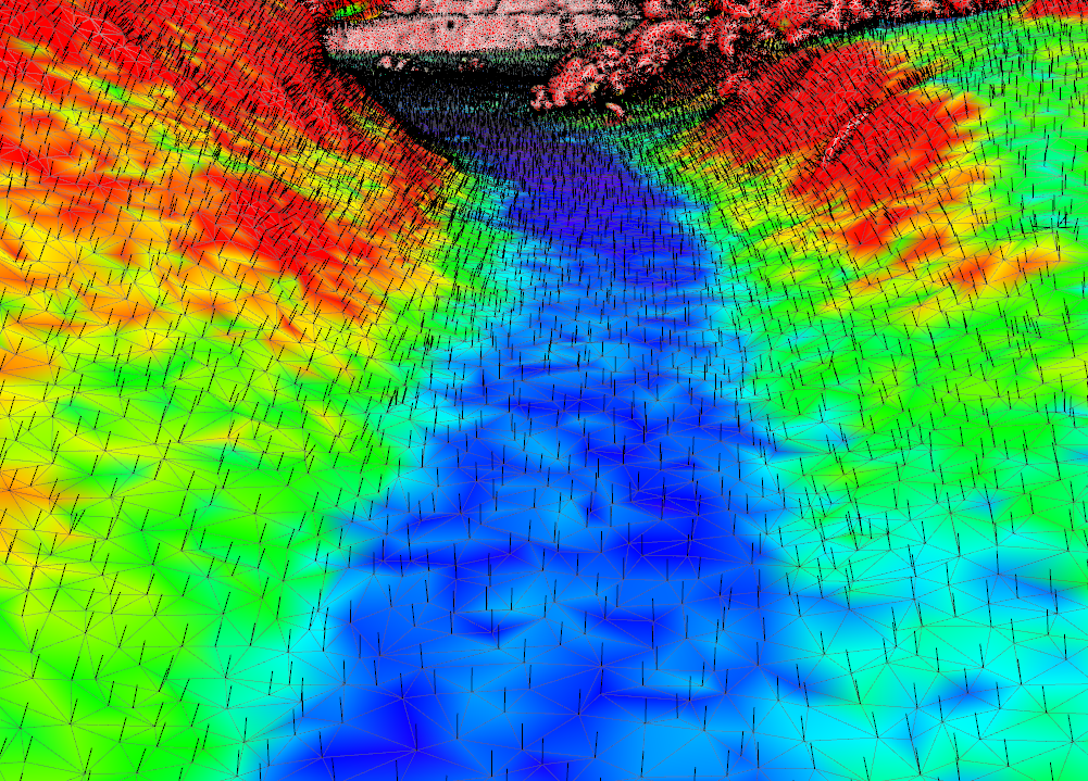
- Geometric environment and navigability analysis for vehicles and autonomous robots.
The creation of high-resolution and precise 3D environment maps and surface models serves e.g. as a basis for 3D mesh navigation, object surveying or ground truth.
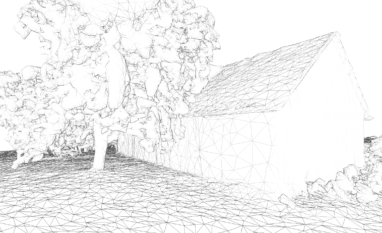
Farmer's Pit Stemwede, Wireframe
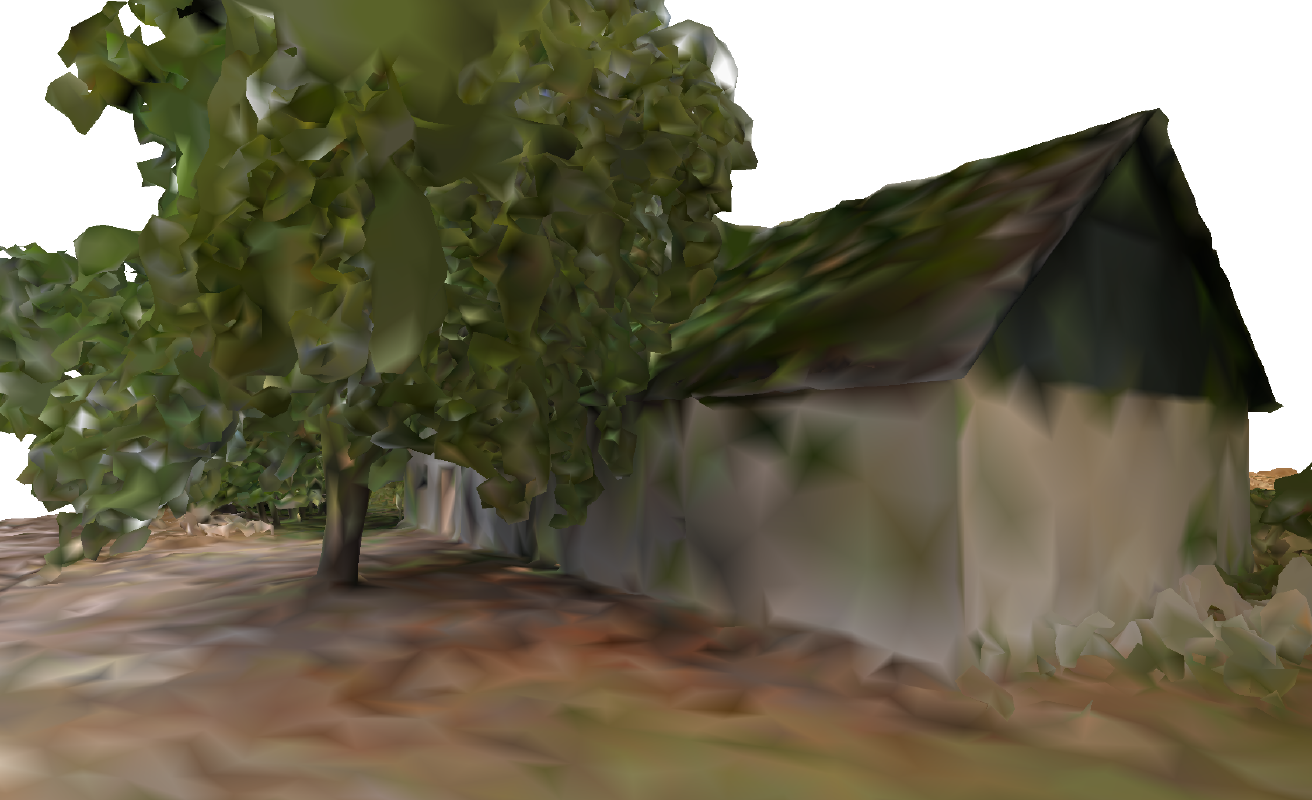
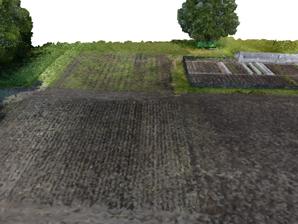
Farmer's Pit Stemwede, Colored
Market Garden, Sideview
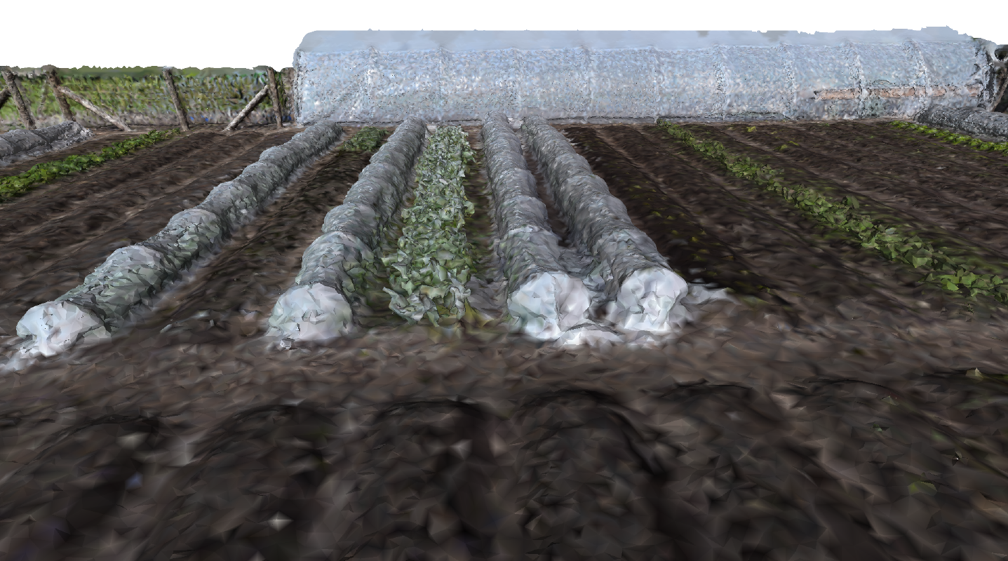
Market Garden Ibbenbueren, Closeup
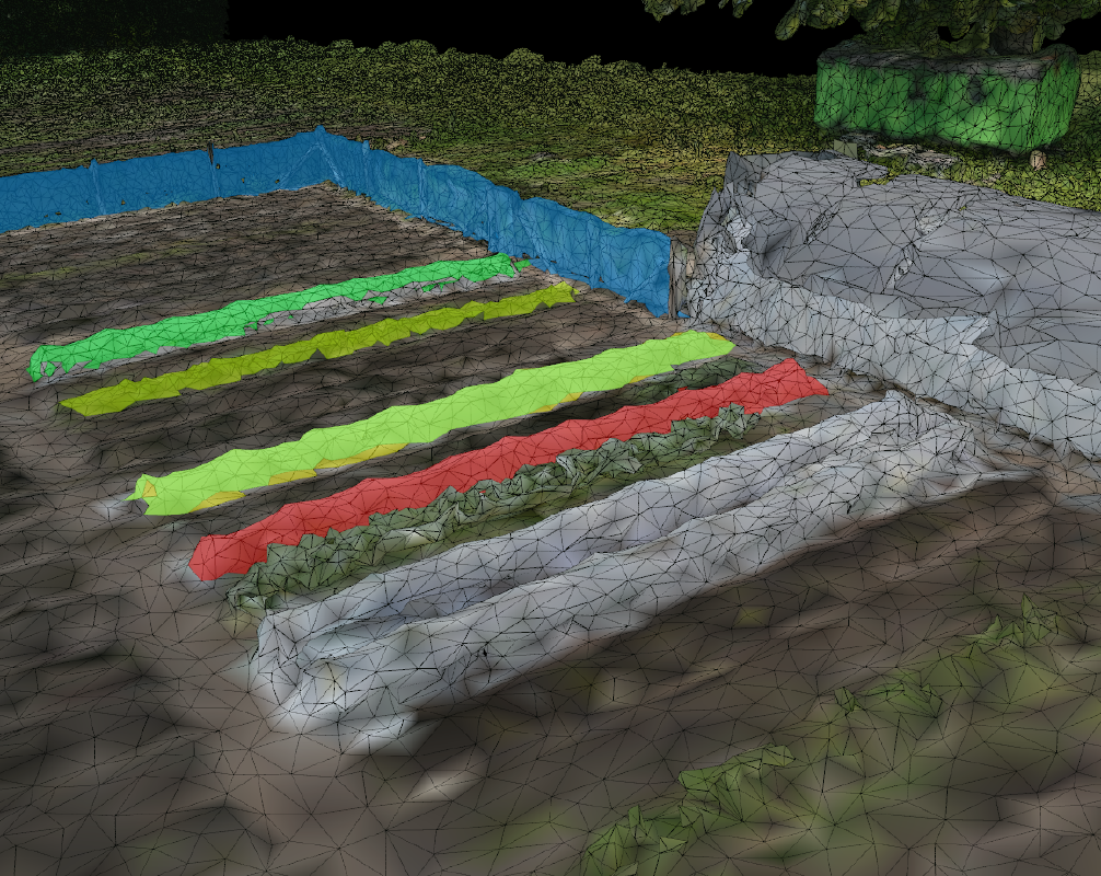
Market Garden Ibbenbueren, Labeled
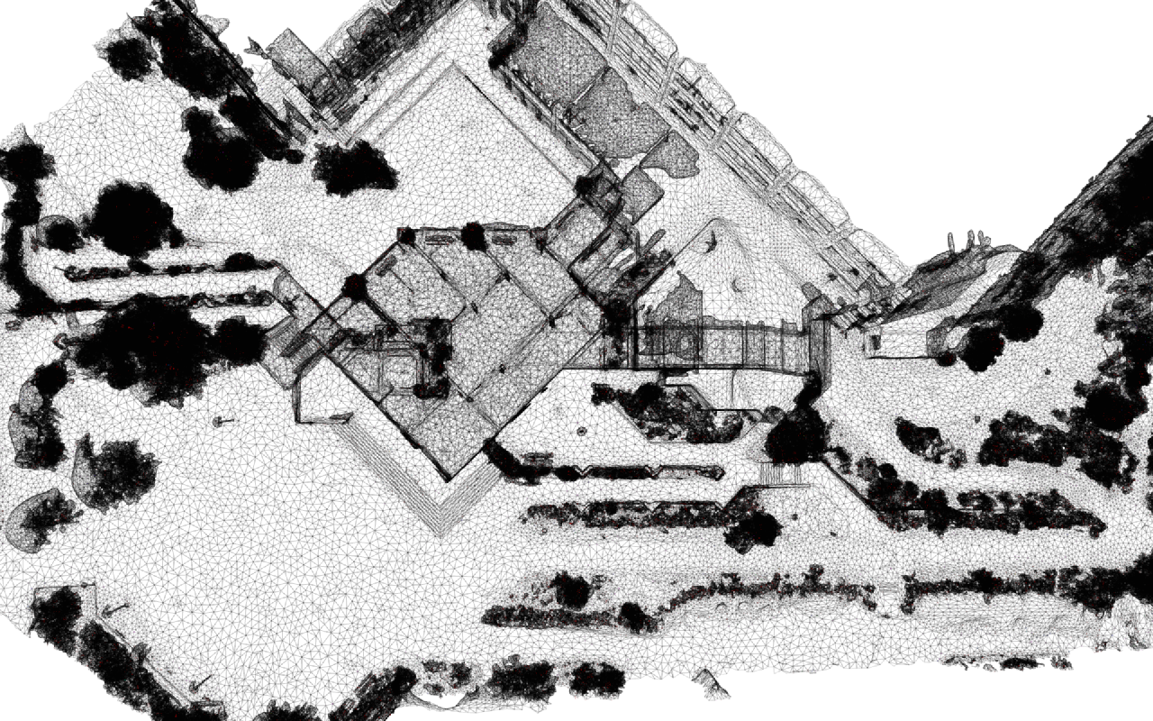
Campus Westerberg, Wireframe
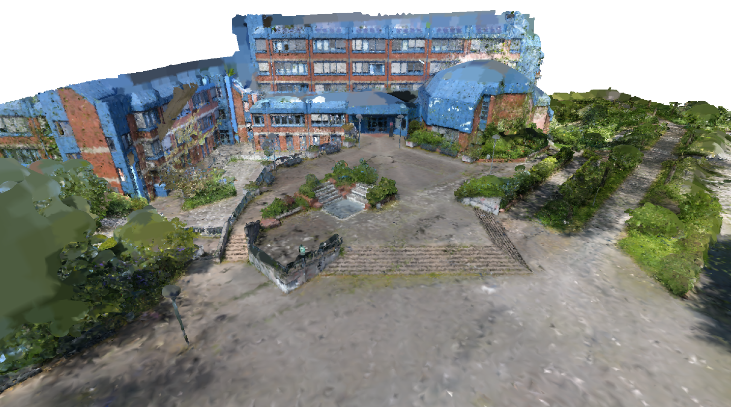
Campus Westerberg, Colored
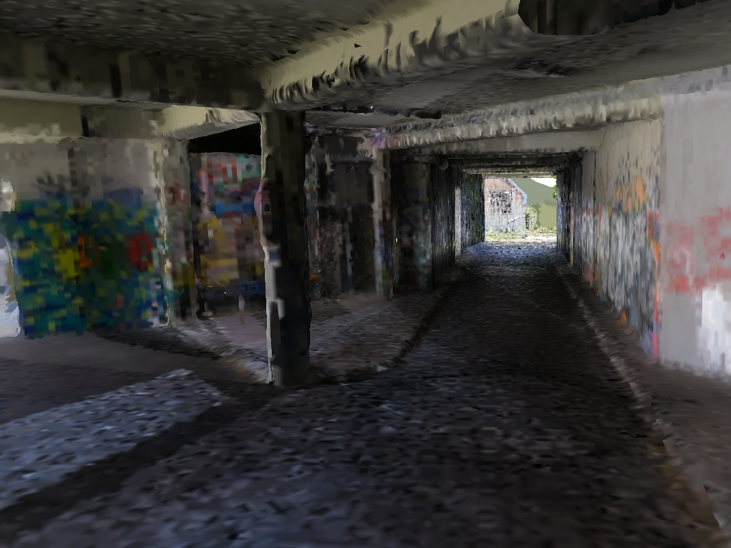
Campus Westerberg Tunnel, Colored
StonreQuarry Brockum, Photo
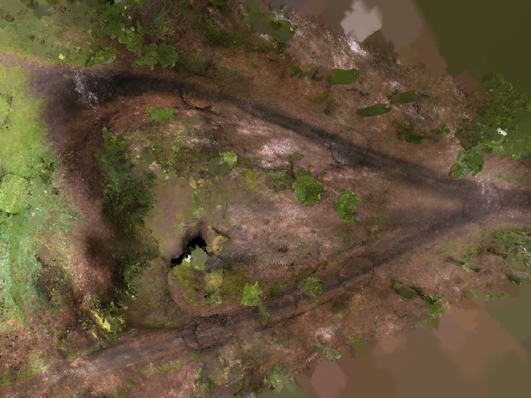
Stone Quarry Brockum, Path Ways