3D Plant Mapping
3D Plant Mapping


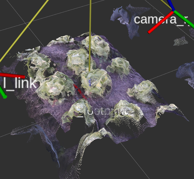
Automatic 3D Plant Mapping
Automatic 3D Plant Mapping includes an RGB-D mapping module developed by Nature Robots to create high-resolution plant models of entire plant plots and beds. Based on performant position estimation and regression steps, the consecutively acquired color images, depth images and near-infrared images are combined to a colorful and continuously growing 3D map. Based on this data, plant analysis can also be derived downstream and actions based on it can be planned and executed for a specialized robotic platform.
This mapping technology includes:
- Integrated hardware and software module for 3D plant mapping to create high-resolution plant point clouds and surface models.
- Combination of the recorded point data of all registered frames into a consistent map of the plants in a bed or plot.
Automated 3D mapping of plants on the fly. Multiple calibrated sensors generate a high resolution plant map.
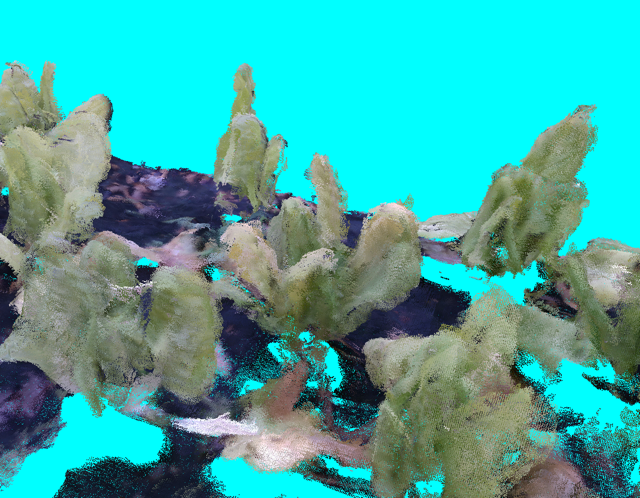
3D Point Cloud of a Bed
3D Point Cloud of a Bed
3D Point Cloud of a Bed
Mapping from multiple perspectives.
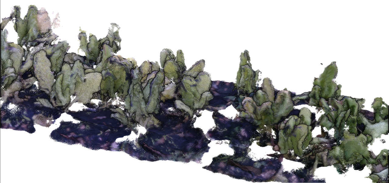
3D Point Cloud of a Bed
with 3D colored information
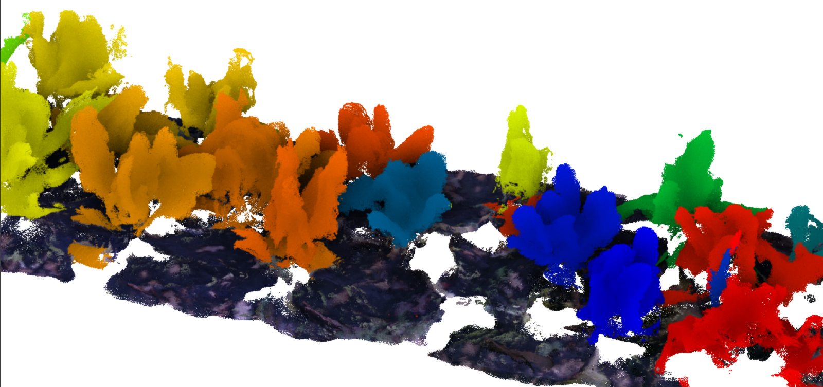
3D Point Cloud of a Bed
generating 3D plant instances